Quick Facts
- Distance: Approximately 100 miles (170km) loop.
- Total Elevation Gain: Cumulative 30,000 feet (10,000m).
- Duration: Typically 10 days, though it can be squeezed into 7 or stretched to 12.
- Countries Visited: France, Italy, and Switzerland.
- Highest Points: Passes like the Col de la Seigne and Grand Col Ferret reach over 8,100 feet.
Introduction: The Circle Around the Giant
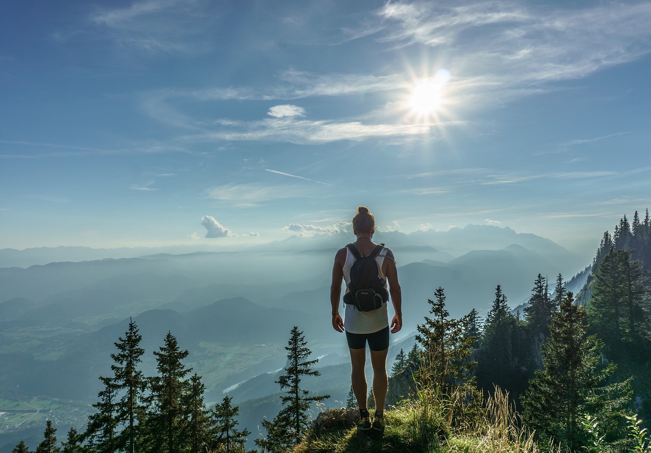
There is a specific moment on the Tour du Mont Blanc (TMB) when the sheer audacity of what you’re doing finally hits home. For me, it was standing atop the Col de la Seigne, the wind whipping off the glaciers, with one foot literally in France and the other in Italy. To your left, the Mont Blanc massif rises like a jagged fortress of ice and granite—a "feminine" mountain, as some locals call her, beautiful but notoriously temperamental.
Hiking the TMB isn't just a walk in the park; it’s a high-altitude pilgrimage through the heart of the Alps. You aren't just crossing borders; you’re crossing cultures, cuisines, and some of the most demanding terrain in Europe.
How long is the Tour du Mont Blanc trek? The Tour du Mont Blanc (TMB) is approximately 100 miles long, typically taking 10 days to complete while passing through France, Italy, and Switzerland.
It’s a beast of a trail, defined by its relentless "V" shaped topography. Every morning you descend into a lush, emerald valley for a croissant or an espresso, and every afternoon you grind your way back up into the clouds. By the time you finish the loop, you’ll have climbed the equivalent of Mount Everest from sea level.
Route Planning: Clockwise vs. Counter-Clockwise
Before you lace up your boots, you have a choice to make. The TMB is a loop, and while most hikers follow the traditional counter-clockwise route, there’s a growing movement of "rebels" going the other way.
The Counter-Clockwise (CCW) route is the classic experience. You start in Les Houches and head south toward Italy. The advantage? You’re walking with the flow of the trekking community, making it easier to meet people in the refuges. The disadvantage? You’re often looking at the backs of other hikers' heads on the steeper climbs.
The Clockwise (CW) route, however, offers a different perspective. You get the hardest climbs out of the way while your legs are fresh, and you face the most dramatic views of the massif head-on rather than constantly glancing over your shoulder.
| Feature | Counter-Clockwise (Classic) | Clockwise (Alternative) |
|---|---|---|
| Starting Point | Les Houches, France | Champex-Lac or Chamonix |
| Social Vibe | High—you'll see the same faces nightly | Quieter—you pass people once a day |
| Difficulty | Steady build-up | Harder climbs early on |
| Best For | Solo hikers looking for community | Photographers and solitude seekers |

Regardless of the direction, the physical toll remains the same.
What is the total elevation gain of the TMB? Hikers on the Tour du Mont Blanc encounter a cumulative elevation gain of approximately 30,000 feet over the course of the 100-mile circuit, with high-altitude points reaching over 8,100 feet at passes like the Col de la Seigne.
The 10-Day TMB Itinerary: A Classic Breakdown
This itinerary follows the traditional counter-clockwise loop starting from the Chamonix Valley. It’s a pace that allows for "jelly legs" to recover while still pushing your limits.
Days 1-3: The French Charm and High Passes
The journey begins in Les Houches. Day one is often a "shakeout" day, taking you over the Col de Voza. You’ll pass through traditional alpine villages where the smell of woodsmoke and fresh boulangerie bread fills the air. Don't be fooled by the quaintness; by Day 2, the trail ramps up significantly as you climb toward the Col du Bonhomme.
The highlight here is the transition from the lush Chamonix valley to the rugged, remote feeling of Les Chapieux. This is where you first feel the scale of the massif.
Days 4-6: Italy—Espresso, Granite, and Grit
Crossing the Col de la Seigne brings you into Italy, and the atmosphere changes instantly. The granite faces feel steeper, the sun feels sharper, and the coffee gets significantly better.
You’ll descend into Val Veny, a spectacular glacial valley that looks like something out of a Ridley Scott film. One of my favorite stops is Courmayeur. It’s a sophisticated mountain town where you can trade your trekking poles for a glass of Aperol Spritz. Use Day 6 as a "semi-rest" day or take the Skyway Monte Bianco cable car for a rest that doesn't sacrifice the views.
Days 7-10: Switzerland and the Final Push
Crossing the Grand Col Ferret takes you into the Swiss Valais. This section is characterized by rolling green pastures, bovine bells ringing in the distance, and the pristine waters of Champex-Lac. It feels like a storybook, but don't let the cows distract you—the final leg back into France via the Col de Balme and the "Ladder Section" near Aiguille Rouges is a heart-pumper.
Your reward for the final climb is the view from Lac Blanc, where the entire Mont Blanc range reflects in the still, alpine water. It is, quite simply, the greatest finish line in the world.

Best Photography Spots on the Mont Blanc Massif
If you’re carrying the extra weight of a DSLR or even just a high-end smartphone, you want to make every shutter click count. The TMB is a visual feast, but a few spots stand above the rest.
Where are the best photography spots for Mont Blanc? Top locations include Aiguille du Midi for high-altitude views, Lac Combal for glacial reflections, and Col de Balme for the French-Swiss border transition.
- Aiguille du Midi: Accessible via cable car from Chamonix. At 3,842m, it offers 360-degree views of the French, Swiss, and Italian Alps. It’s the closest you can get to the summit without a pair of crampons.
- Lac Blanc: Located in the Aiguille Rouges Nature Reserve. The reflection of the massif at sunrise or sunset is the "hero shot" of the TMB.
- Lac Combal (Italy): A massive, flat glacial flood plain. The reflections of the jagged Italian ridges in the slow-moving water are hauntingly beautiful.
- Le Brévent: Directly across the valley from Mont Blanc. It provides the best perspective for understanding the scale of the glaciers flowing down toward Chamonix.
Logistics: Sleeping, Eating, and Costs
One of the best things about the TMB is that you don't have to eat dehydrated "slop" in a bag. You are walking through the culinary heart of Europe.
Accommodation Types
- Refuges (Rifugi/Cabanes): These are the soul of the TMB. You’ll sleep in dorms (usually 4 to 12 people) and eat "half-board" meals. Expect hearty soups, beef bourguignon in France, polenta in Italy, and rösti in Switzerland. Places like Refuge des Mottets or Rifugio Elisabetta are legendary for their atmosphere.
- Hotels/Guesthouses: In towns like Courmayeur, Champex, and Chamonix, you can find luxury boutique hotels if your budget allows for a "real" bed and a private shower.
- Camping: It’s the most budget-friendly option, but it adds significant weight to your pack. Note that "wild camping" is strictly regulated and generally discouraged in favor of designated sites near refuges.
Cost Estimates
The TMB can be as cheap or as expensive as you want it to be.
| Item | Budget (Camping) | Mid-Range (Refuges) | Luxury (Hotels/Guided) |
|---|---|---|---|
| Accommodation | €15 - €25 / night | €60 - €90 / night | €150 - €300 / night |
| Food (Daily) | €20 (Supermarkets) | €40 (Inc. in Half-Board) | €80 (Fine Dining) |
| Total (10 Days) | €500 - €700 | €1,100 - €1,500 | €2,500+ |
Preparation: Gear and Fitness
You cannot "wing it" on the TMB. I’ve seen strong hikers humbled by the 3,000-foot daily elevation changes because they didn't train for the descent. Your knees will take a beating.
Fitness Training
Six months out, start hiking with a weighted pack. Focus on "stair-climbing" and lunges. The TMB isn't a technical climb, but it is an endurance marathon. If you can’t walk 10 miles with 3,000 feet of gain on back-to-back days at home, you’ll struggle in the Alps.
Packing Essentials
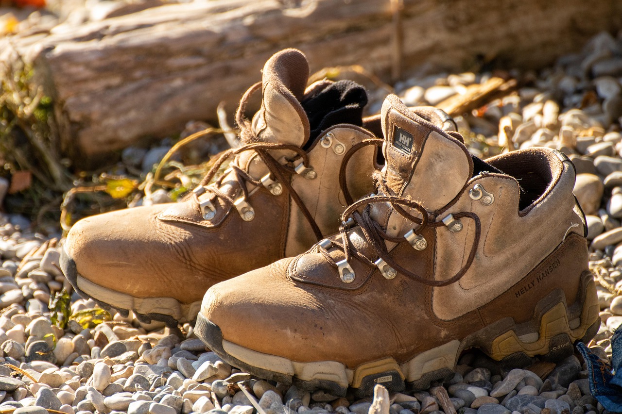
- Broken-in Boots: Do not—I repeat, do not—wear new boots on Day 1. You want footwear that feels like an extension of your feet. I prefer mid-cut waterproof boots for the ankle support on loose scree.
- Trekking Poles: These aren't optional in my book. They save your joints on the 10,000-meter cumulative descent and help with balance on snowy patches.
- The Layering System: The weather can flip from 25°C (77°F) in the valley to a freezing sleet storm on a pass within an hour. You need a base layer (merino), a mid-layer (fleece or down), and a high-quality hardshell (Gore-Tex).
FAQ: Tips for a Successful Trek
When is the best time to hike the TMB? The window is narrow: late June to late September. Before mid-June, many passes are still blocked by dangerous snow. By late September, the refuges begin to close and the weather turns significantly colder.
Do I need to book in advance? Yes. The TMB has become incredibly popular. If you want to stay in the most iconic refuges (like Elisabetta or Lac Blanc), you should book 6 to 9 months in advance.
Do I need a guide? The trail is exceptionally well-marked with yellow signs and "TMB" logos. If you have basic navigation skills and a map/app (like AllTrails or Fatmap), you can easily go self-guided. However, a guide adds immense value in terms of geology, history, and taking the stress out of logistics.
Conclusion: The Bone-Deep Sleep
By the time you roll back into Les Houches or Chamonix, you’ll be different. You’ll be thinner, tanner, and likely have a few blisters that feel like medals of honor. But more than that, you’ll have a new relationship with the mountains.
Circling Mont Blanc is a lesson in persistence. It’s about the rhythm of your breath against the steepness of the Col du Brévent and the silence of the glaciers at dawn. It is, without a doubt, the most rewarding 100 miles you will ever walk.
My advice? Don’t wait. The mountain isn't getting any smaller, and those refuges fill up fast. Start your training, break in those boots, and get ready for the adventure of a lifetime.